
Find somewhere to ride
Motocross tracks, enduro venues, practice days and legal off-road routes and green laning—pulled into one rider-first map.

Made for off-roadGrowing worldwide
Thousands of locations already uploaded and verified, with the map being updated every day


What we do
Motocross tracks, enduro venues, practice days and legal off-road routes and green laning—pulled into one rider-first map.
Find garages, dealers, parts and gear shops without digging through old lists or scattered posts.
Plan a ride and meet eligible riders through privacy zones—never exact public home pins.
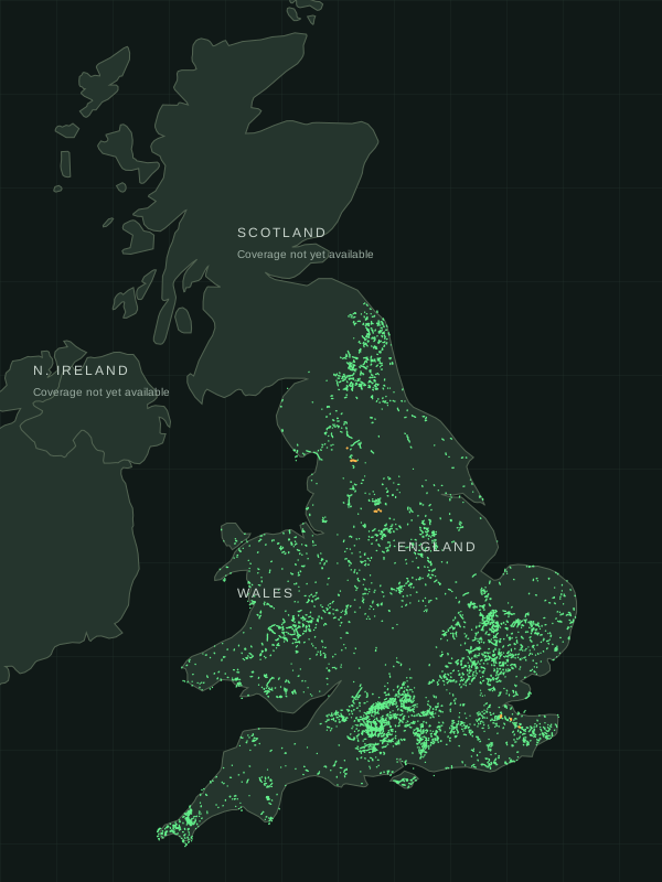
The green lane map
Discover over 3,200 miles of mapped byway sections across England and Wales. Pick a starting point and let MXDuro find a connected ride.
Choose how long you want to ride.
Set your mileage. See the lanes and road connections before you go.
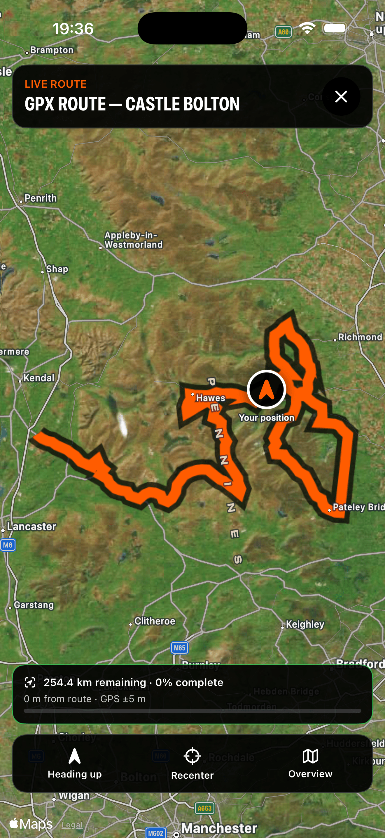
Generate a one-way route, review its distance and estimated time, then choose your ride. When the target can’t be matched, the app shows the alternative it found.
Mapped byways are not a guarantee of current motorcycle access. Check traffic orders, closures, permits and conditions before riding. Preview routes do not provide turn-by-turn navigation.
BOAT snapshot: 22 September 2026. Mileage sums mapped sections; some overlap. This map shows the byway layer, not every lane in the app.
Inside MXDuro
Explore the map, browse the directory and bring riders together. Built for life on two wheels.
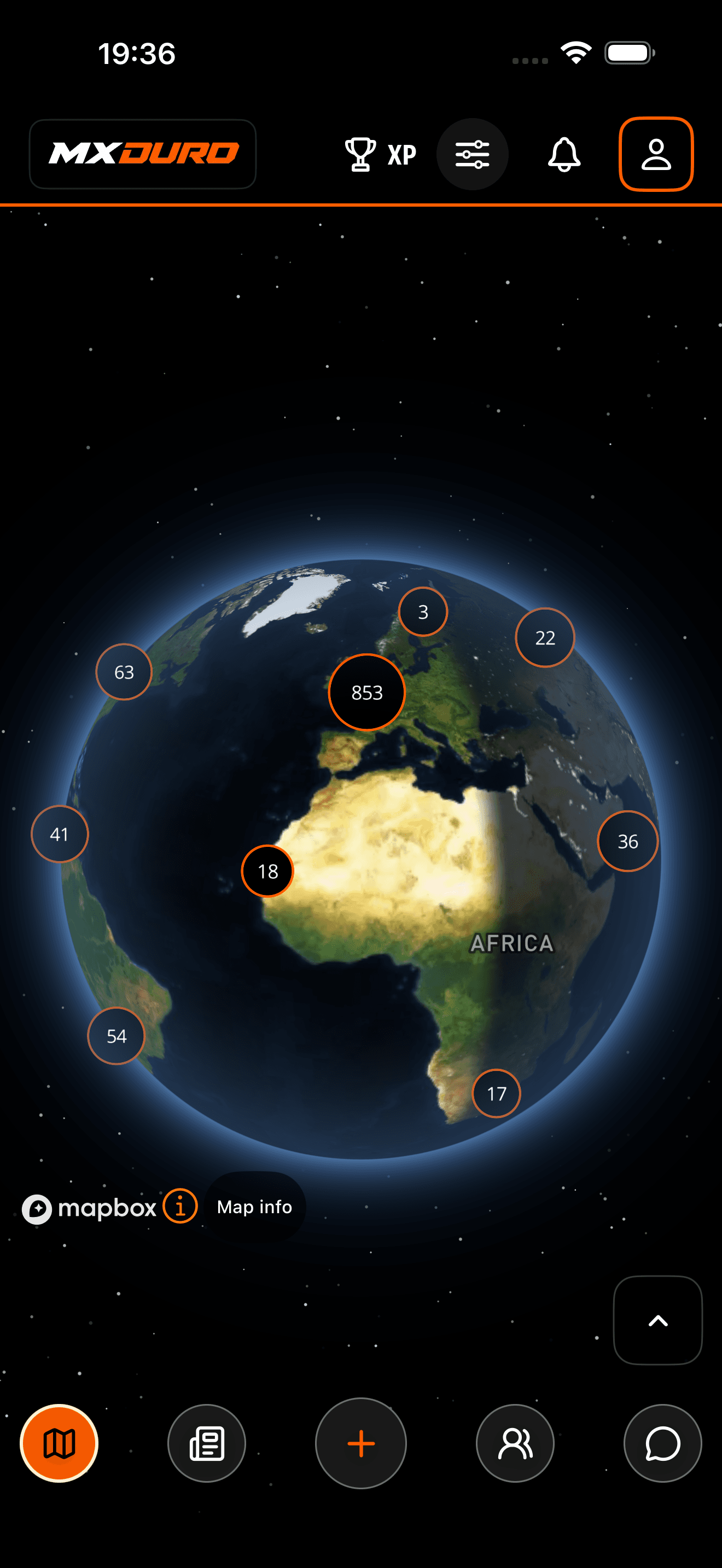
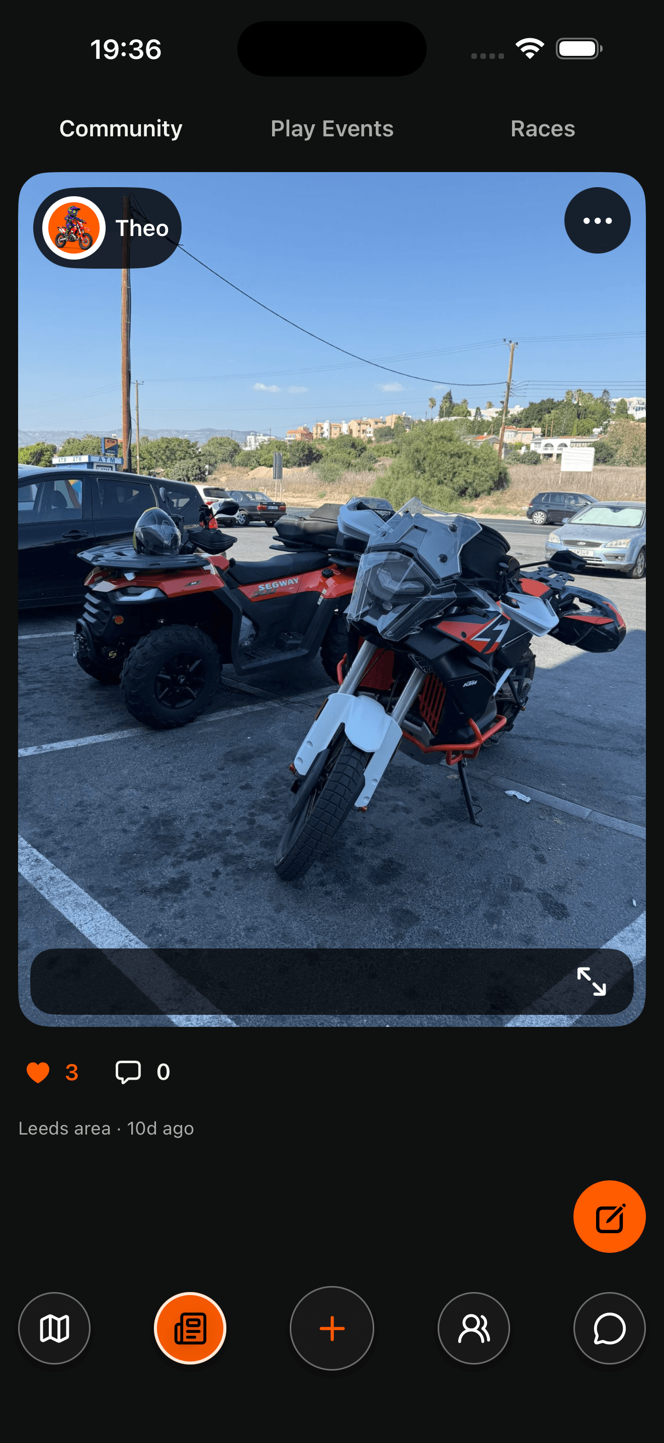
Built native
Your off-road world, in your pocket. Find your next ride with MXDuro.